
Precision Drone Mapping Solutions
Our Services
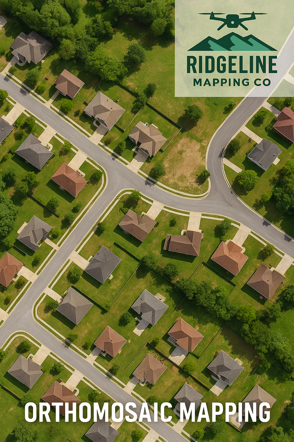
High-resolution aerial maps stitched together with precision, giving you accurate, geo-referenced imagery of your site. Perfect for construction planning, land management, real estate, and inspections. Our drone technology captures every detail—delivering data you can rely on.
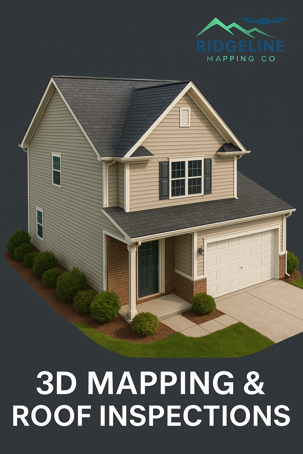
Capture every angle with high-resolution aerial imaging and detailed 3D models. Our drone technology provides fast, accurate roof assessments and property inspections—ideal for contractors, insurance claims, and homeowners. Visualize structures, identify issues, and make informed decisions without ever leaving the ground.
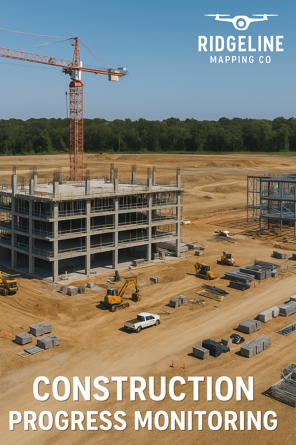
Track your project’s progress from start to finish with high-resolution aerial imagery. Our drone mapping services provide accurate site overviews, 3D models, and orthomosaic maps—keeping your team, stakeholders, and clients informed every step of the way.
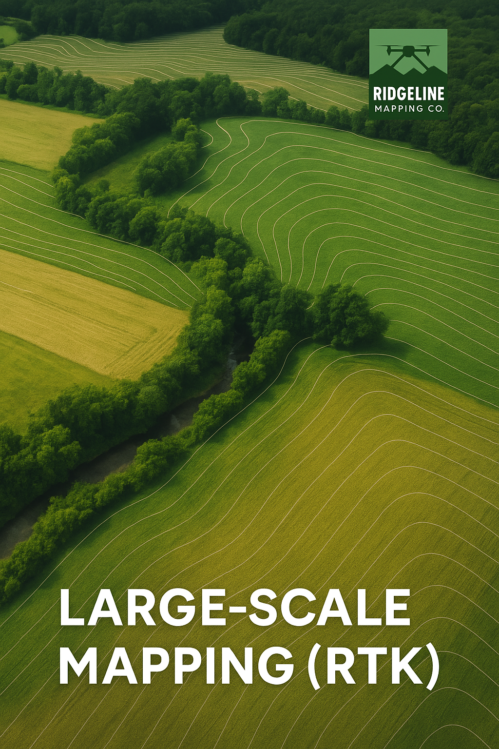
Delivering survey-grade accuracy for large properties and complex sites. Using RTK-enabled drone technology, we create high-resolution, geo-referenced maps with centimeter-level precision—ideal for land development, engineering, and infrastructure projects.
More about
our business

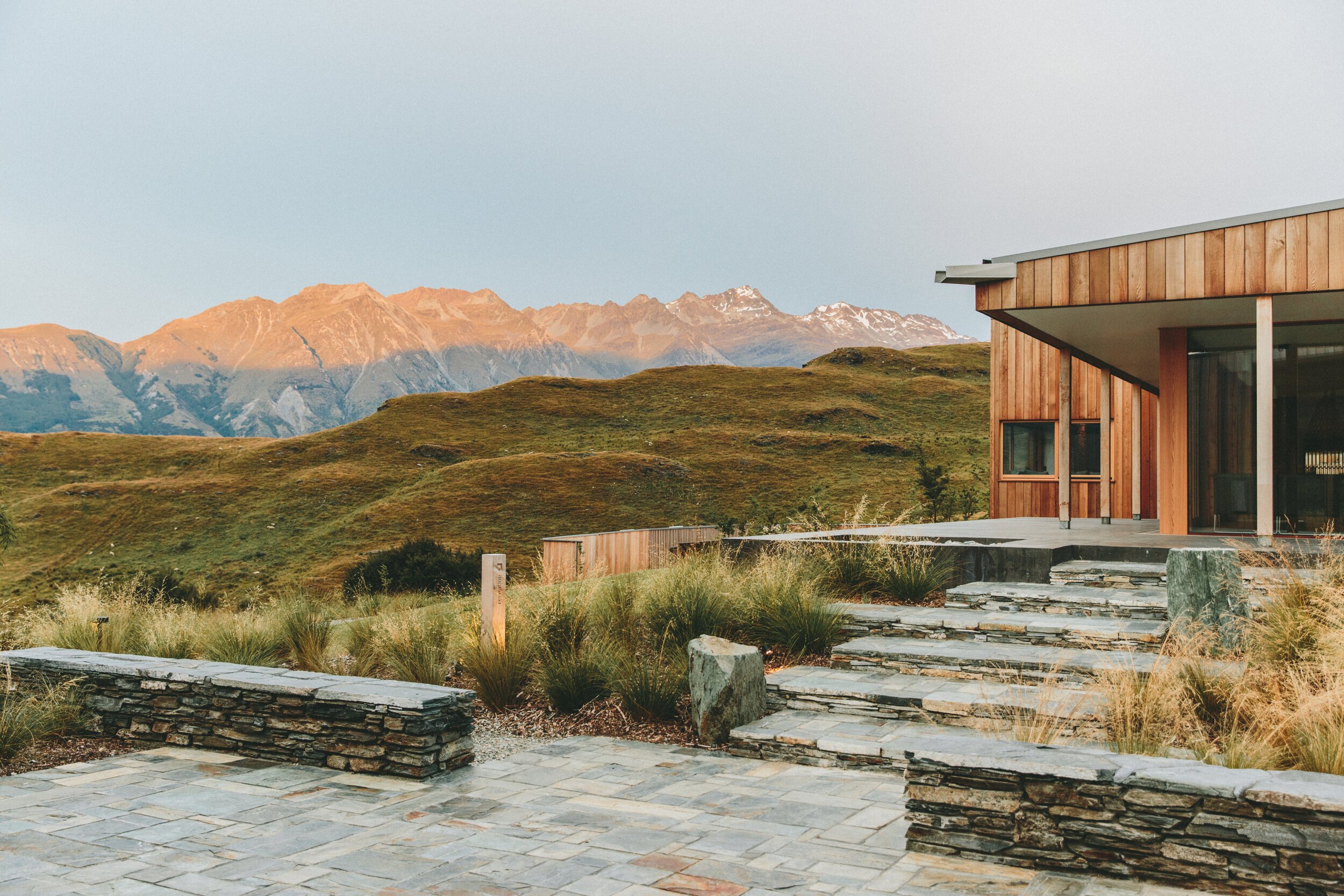
At RidgeLine Mapping Co., we’re redefining the way businesses see and interact with their projects. Using advanced drone technology and precision mapping techniques, we provide aerial data solutions that help our clients plan smarter, work more efficiently, and make informed decisions with confidence.
Our services include orthomosaic mapping, 3D modeling, roof inspections, construction site monitoring, and large-scale RTK surveys — all designed to deliver high-resolution, georeferenced data that’s both accurate and actionable. Whether you’re developing land, managing a construction project, inspecting infrastructure, or monitoring vast agricultural areas, we give you the tools to visualize every detail from a new perspective.
What sets RidgeLine Mapping Co. apart is more than technology — it’s our commitment to quality, safety, and building strong partnerships. As FAA-certified drone operators, we bring professionalism and precision to every flight, helping clients across Chattanooga and the surrounding region achieve results faster and with greater confidence.
At RidgeLine Mapping Co., we don’t just deliver maps — we deliver clarity, insight, and the competitive edge your projects deserve.
CONTACT

Request a Free Quote
Get fast, accurate aerial data tailored to your project. Whether it’s mapping, 3D modeling, or inspections, we’ll deliver the results you need—on time and on budget. Request your free quote today and see the difference RidgeLine Mapping Co. can make.