
Our Services
At RidgeLine Mapping Co., we provide advanced aerial mapping solutions to meet the needs of a wide range of industries. Our services include high-resolution orthomosaic mapping for true-to-scale, georeferenced site data; safe and efficient roof inspections paired with detailed 3D mapping for comprehensive structural analysis; construction site monitoring to track progress, identify issues early, and keep stakeholders informed; and large-scale RTK-enabled mapping for highly accurate surveys across vast areas. Using state-of-the-art drone technology and precision workflows, we deliver the clarity and actionable insights your projects demand.
-
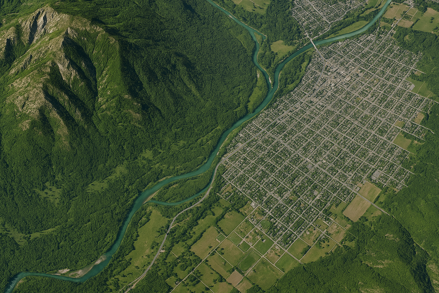
Orthomosaic Mapping
We create high-resolution, georeferenced orthomosaic maps that offer a true-to-scale representation of your site. Perfect for land development, environmental assessments, and infrastructure planning, our orthomosaics provide centimeter-level detail and seamless integration with GIS and CAD systems.
-

Roof Inspections & 3D Mapping
Our drone-based roof inspections eliminate the need for ladders and scaffolding, delivering safe, efficient, and highly detailed assessments. Pair this with 3D mapping to visualize structures from every angle — ideal for insurance claims, construction planning, and structural analysis.
-
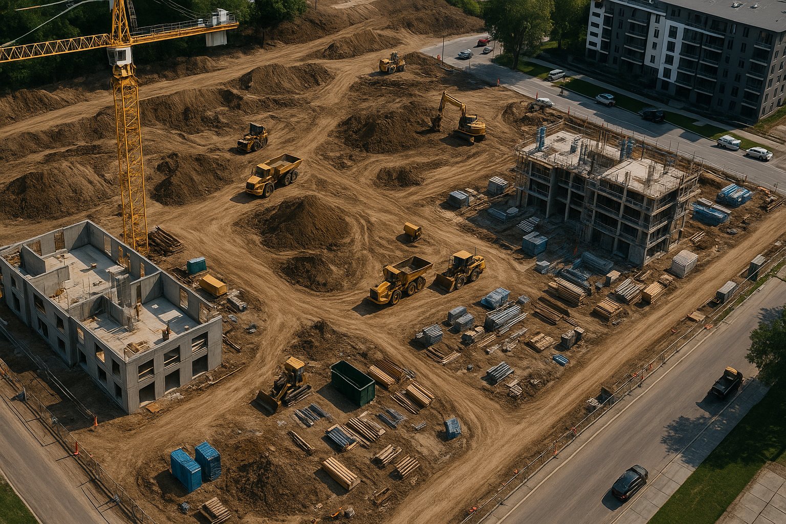
Construction Site Monitoring
Track the progress of your projects in real time with our aerial monitoring services. We provide periodic orthomosaic updates, progress photos, and data overlays to help you manage timelines, spot issues early, and improve stakeholder communication.
-
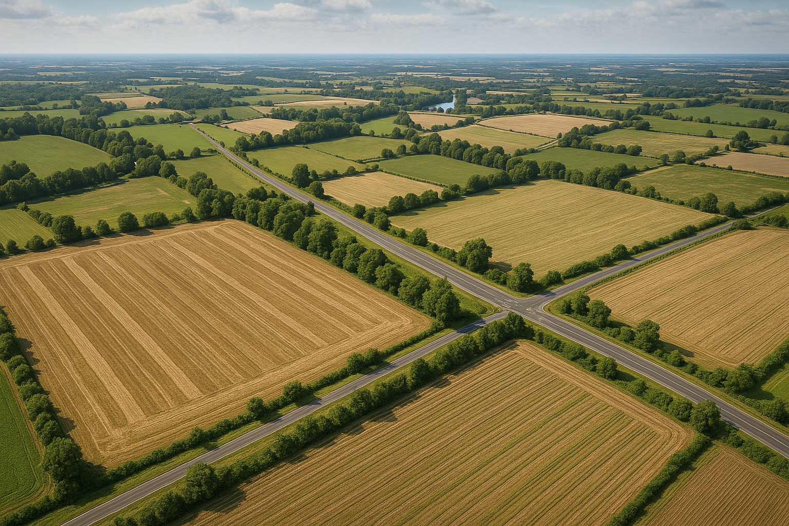
Large-Scale Mapping (RTK)
For projects that cover hundreds of acres, our RTK-equipped drones capture precise aerial data with sub-inch accuracy. From agricultural surveys to utility corridor mapping, we provide scalable solutions for even the most demanding large-area applications.
Services
Filters
No results found
No results match your search. Try removing a few filters.
Contact us
Have questions or need a custom quote? Get in touch with RidgeLine Mapping Co. today. We’re ready to help you see your project from a whole new perspective.